Whernside at Easter
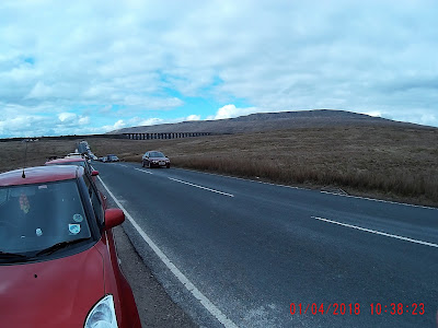
Decided I would kick off this years hikes with a walk up Whernside in Yorkshire. Going anywhere on Easter Sunday can be a pain and it took ages to drive over to the starting point at Ribble Viaduct. When I arrived there were hundreds already there and parked cars lined the road for almost a mile past the Station Inn. Thankfully the authorities have put in additional parking areas so while I had to go quite a distance from the start, I did get parked. I took a lot of photos as I went along but unfortunately the weather was very overcast so they are a bit dark. The car temp indicator registered 5.5° C when I was leaving but that fell to 3 degrees by the time I arrived back. the wind was light and conditions for the walk were dry although there was rain in the preceding days so some spots were a bit muddy.
Whernside is the tallest of the Yorkshire three peaks at 730m and the expected time for the route up the left side, across the ridge and down the rights side and back to Ribble Head is about 3.5 to 4 hours.
 The Ribble Head Viaduct in the mid ground with Whernside in the background.
 Pen-y-Gent in the distance with some snow still lingering.
 The start of the formal path to the summit.
 The path with Ribblehead Viaduct in the distance
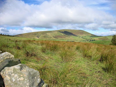
 Our target for the day, Whernside.
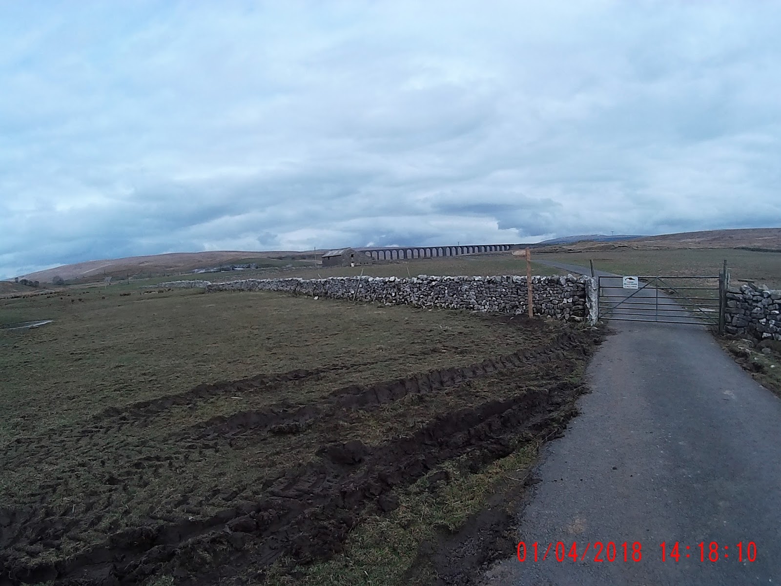
 The first style at the other side of the viaduct, the walk is pretty easy at this point as its fairly flat and the path is dry.
 Heading down towards the railway station. Yes there is one way out here :)
 The railway station is really the start of the ascent, it gets gradually steeper from here on out, but still with a well laid out pathway.
 Looking back towards Pen-y-Ghent and the railway station.
 Now the climb starts
 The turn off with notices about breeding birds.
 In case you get lost.
 The steps begin
 Heading for the ridge it got a bit muddy as the ice had started to melt. There were a lot of people about this weekend which only served to increase the mud.
 Before the river and railway crossing there is a beautiful little waterfall which many used to stop for a break
 The third and final style, it gets a bit steeper from here as you climb up on to the ridge.
 Its almost a straight path to the top
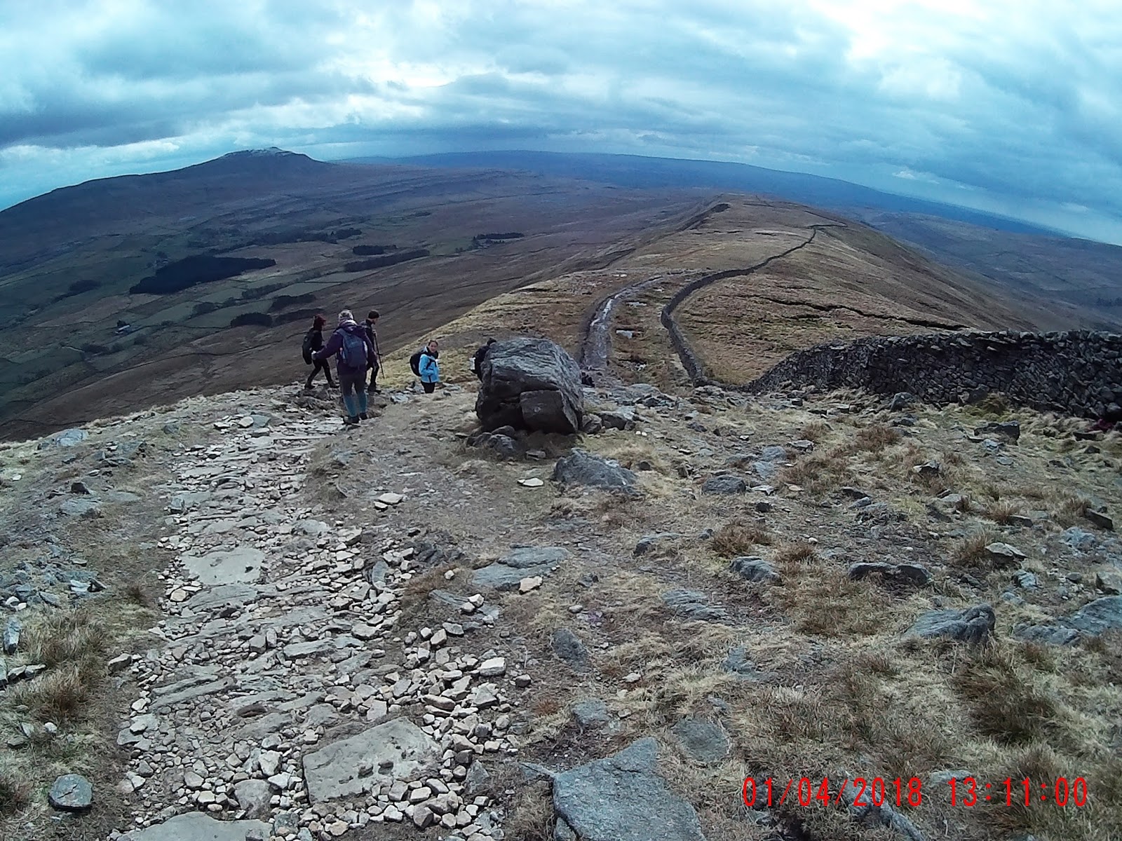
 the view along the ridge as you progress, the white stuff along the side is ice which has not yet melted. It was about 1 degree C at the top.
 Approaching the summit. Still can't see the trig point
 As I arrived at it, the small crowd indicated the official summit, however the Trig point is the other side of the wall and its top is lower than the wall so you could miss it.
 There is a small wind break area at the top which is quite welcome on a cold windy day. Unfortunately there are only 4 or 5 places to sit so you may be out of luck.
 Heading down the south side is a good deal steeper than the ascent, you need to be careful of your footing.
 As I say, it starts getting quite rocky and steep, of course you can go back the way you came up and avoid this.

 It then levels out a bit but got a little muddy in places.
 Think you can say that this gate is essentially the end of your descent
 From there back to the viaduct and car park is paved road, you can also turn off to the south and take the path towards Ingleborough.
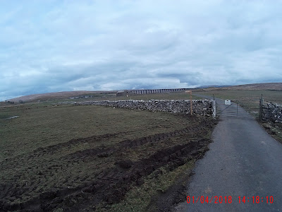 The viaduct comes back into view past Broadrake Barn.
 The sign detailing the history of the Viaduct.


Whernside is the tallest of the Yorkshire three peaks at 730m and the expected time for the route up the left side, across the ridge and down the rights side and back to Ribble Head is about 3.5 to 4 hours.


Once the rocky bit is complete there is a stepped area that is hard on the knees :)


The pub and car park. They keep the car park for patrons but as I mentioned there is a lot of roadside parking.
In all this walk took about 4 hours and I think was a total of around 8 miles. Its not particularly difficult but is long. As I said earlier you can return by the same route you went up if you don't fancy the steep decent.
For those who would like a little more text and a map I recommend the www.yorkshiredales.org.uk/threepeaks web page.
Comments
Post a Comment